Geophysical data
Where to find them ?
Institut de Mécanique des Fluides de Toulouse (IMFT), France
About me
- 2021 – now: Postdoctoral researcher, IMFT, Toulouse
- Particle-laden (turbidity) currents
- Experimental work
- 2017 – 2020: PhD Student, IPGP, Paris
Sand dune patterns
Theory, experiments, numerical simulations and geophysical data
![]()
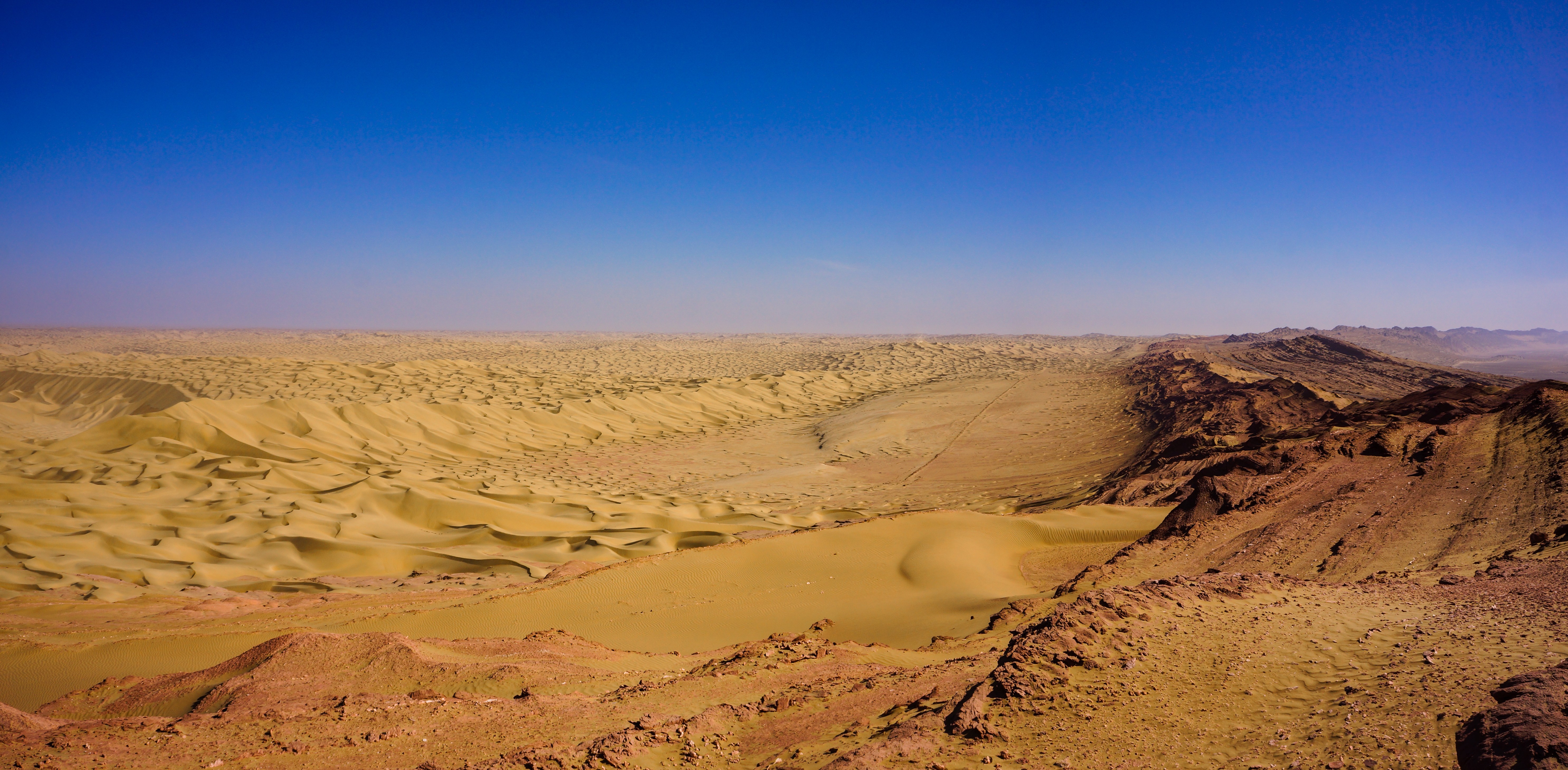
Dunes gathering at the bottom of the Mazar Tagh (small mountain) in the Taklamacan desert, in China
Various data types
- 9 topics (EarthData – NASA):
![]()
![]()
![]()
![]()
![]()
![]()
![]()
![]()
![]()
Where to find them ?
Two global repositories
Today
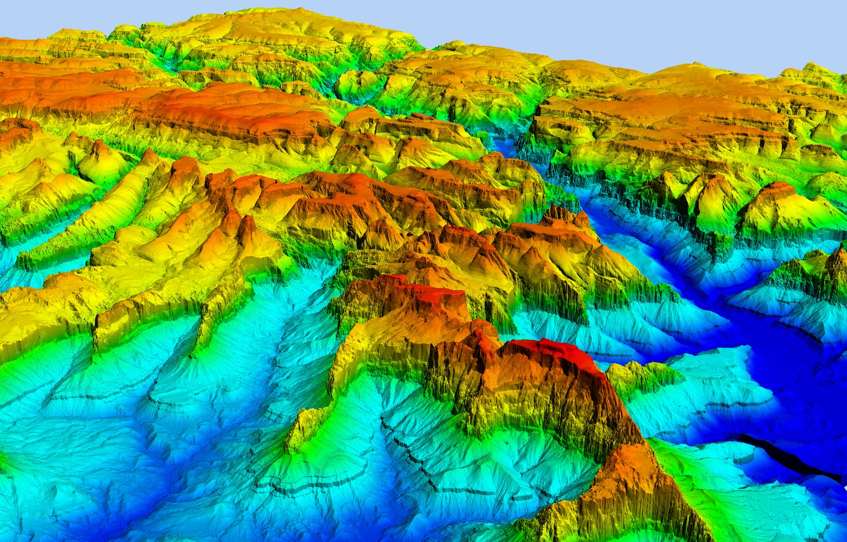
Topographical data
Meteorological data
Topographical data
Topographical data
Best global coverage: SRTM
- Shuttle Radar Topography Mission
- horizontal resolution: \(1'' \sim 30~\textrm{m}\)
- only land
- vertical precision, complicated:
- depend on the place
- systematic bias, always positive on forested areas
- \(\sim 10~\textrm{m}\)
- easy access: EarthData or Map dowload
_Illustration.jpg)